Electric power
Regardless of the scope and scale of your power company, the safe operation of your system depends on the quick and reliable exchange of information between power lines and the end users. Your facilities most often cover a large area and can include different economic and technical feasibilities that result in a network implemented through multiple technologies.
The entire power grid needs to be well coordinated, sustainable, stable and must have a standard infrastructure that provides a predictable and safe communication service for operative uses of the power system. The current power grid “smart” evolution further requires the grid to be “open towards the future”, and to simultaneously ensure optimal operation of the existing system during the long-lasting migration phase.
It is especially challenging to maintain the level of the voltage system security in the entire grid and route control through the grid, as well as the fast service restoration after an outage.
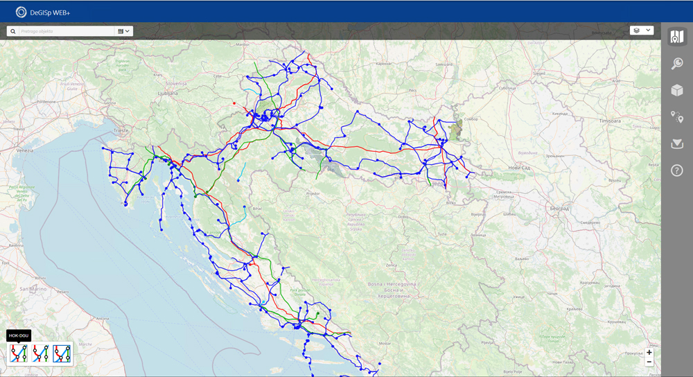
DeGIS is an information system intended for documenting, planning, guiding, and maintaining the EE network (DDCS) which includes spatial and technical data of the power distribution and transmission business. DeGIS system consists of a database, user interface and application functions tailored to user needs. DeGIS is based on Smallworld Core Spatial Technology (CST).
DeGIS - structure
- electric power plants: substations, switchyards, single-pole schemes
- electric grids: aerial and cable lines, signal telecommunication lines
- supporting infrastructure objects, telecommunications, public lighting
- address system: from the county to the house number
- vector background: cadastral plans
- raster background maps: all formats of raster maps according to contents, scale and projections are supported


Advantages of GIS implementation
- reduction in multiplied data maintenance in different locations - unified database for everything
- reduction in planning costs and grid development up to 20%
- productivity increases in documenting the state of development up to 15%
- cost reduction for replacement investments up to 30% through better information regarding the existing infrastructure
- productivity increases for grid inspections and maintenance up to 15%
- reduction in time needed for report generation from several days to several hours
- reduction in challenges connected to implementation of new rules and regulations
DeGIS - user interfaces
- Desktop application: input, updates, general and advanced analyses and reports
- WEB application: review and reports through a web browser
- mobile application: data input and review
DeGIS - user functions
- system maintenance and administration
- data input/maintenance
- reports/printouts
- advanced searches
- specific aplications


- data quality control
- advanced spatial searches/reports
- operational/construction condition of the electric grid
- grid voltage state maintenance on all voltage levels
- geodetic survey making
- spatial location of the malfunction
- transformer load analysis
- feeder network analysis
- readiness analysis for 20 kV
- grid block scheme creation
- electrical poles list creation
- longitudinal power line profile creation
- Basic Electric Network calculations: power flows, voltage drops
- metering point data import
- SCADA system real-time data import
- data export into the network Neplan calculation tool


