Heating industry
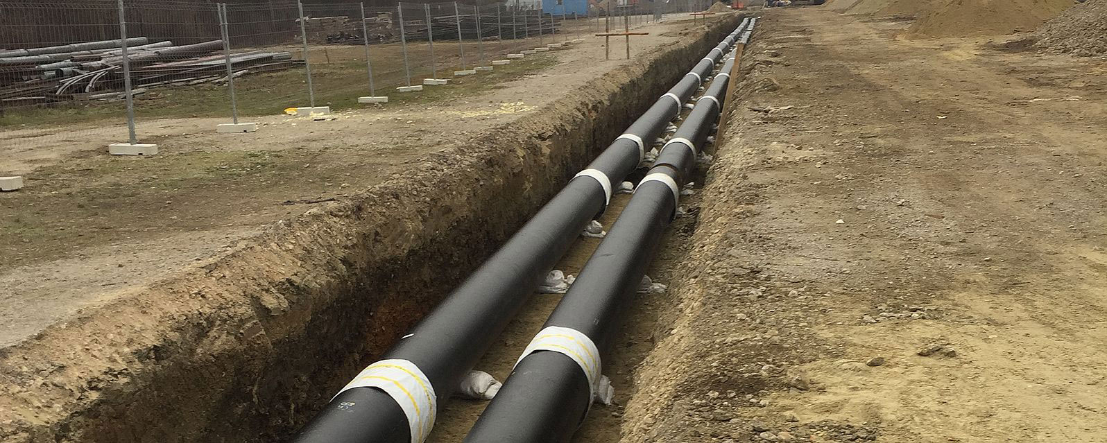
Geographical Information Systems (GIS) are utilized in activity areas where, aside from alphanumeric data, spatial-geographic data is also of significant interest. Due to the above-mentioned property, a GIS system is the ideal informational environment for supporting development, maintenance, and management of systems like a heating network. A heating network includes distribution of hot water or steam through a network of pipes into individual houses or buildings.
By integrating GIS with other technological systems like a network planning system, review and maintenance system, and similar systems, multiple benefits are achieved, e.g. reducing the need to maintain data in several places and gaining a reliable data exchange between those systems.
TeGIS is an information system intended for documenting, planning, managing, and maintaining a heating network which includes spatial and technical data of the distribution and transmission within that network. TeGIS system consists of a database, user interface, and application functions tailored to user needs.

TeGIS structure
TeGIS includes the following data pools:
- heating facilities: manhole, connection point, heating station
- heating pipeline networks: hot water, warm water, steam
- internal world of the facility: single-line manhole diagrams
- supporting facilities: geodesy, telecommunications
- address system: from the county to the house number
- vector background: cadastral plans
- raster background maps: all formats of raster maps according to contents, scale, and projections are supported
TeGIS - user interfaces
- desktop application: input, updates, general and advanced analyses, and reports
- web application: review and reports through a web browser
- mobile application: data input and review in the field
TeGIS - user functions
TeGIS supports different types of user functions which are intended for different types of workplaces:
- system maintenance and administration
- data input/maintenance
- reports/printouts
- advanced searches


TeGIS - applications
TeGIS specific applications are functions created for the needs of the heating industry regarding usage simplification and increase in efficiency:
- data quality control
- advanced spatial searches/reports
- operational/construction condition of the electric grid
- grid voltage state maintenance on all voltage levels
- geodetic survey making
- spatial location of the malfunction


