Communal infrastructure
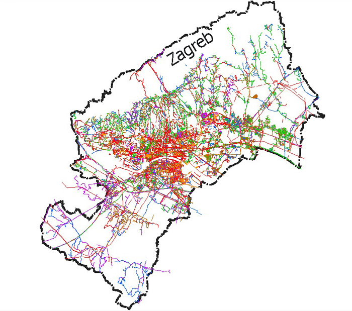
VodGIS is a system for everyday efficient management and maintenance of infrastructure in local governments. Systematic and transparent planning of future investments by comprehensive strategic planning of upgrade, modernization, expansion and infrastructure building projects. It is used for documenting and managing communal infrastructure and public lighting systems by infrastructure owners, contractors, planners and others. A smart solution that will help you increase operational efficiency and decrease total costs through simpler, centralized and automated data maintenance.
VodGIS simply and cost effectively enables the elimination of redundant business processes and multiple data entries which can cause issues on all business levels.
VodGIS is a geographical information system for maintaining spatial and technical data of a city’s cadastral infrastructure. VodGIS system consists of a database, user interface, application functions, hardware, and software environment. The system also enables systematic management of business processes for cadastral and other related data.
VodGIS structure

The system is based on Smallworld CST technology which includes spatial and technical data
- electric energy infrastructure
- telecommunication infrastructure
- heating pipeline infrastructure
- gas pipeline infrastructure
- oil pipeline infrastructure
- water infrastructure
- sewer infrastructure
- public lighting networks
- traffic light networks (signaling in traffic)
VodGIS includes databases
- infrastructure cadastre
- real estate cadastre
- territorial unit register
- raster background maps: technical maps, HOK, DOF, topographical...
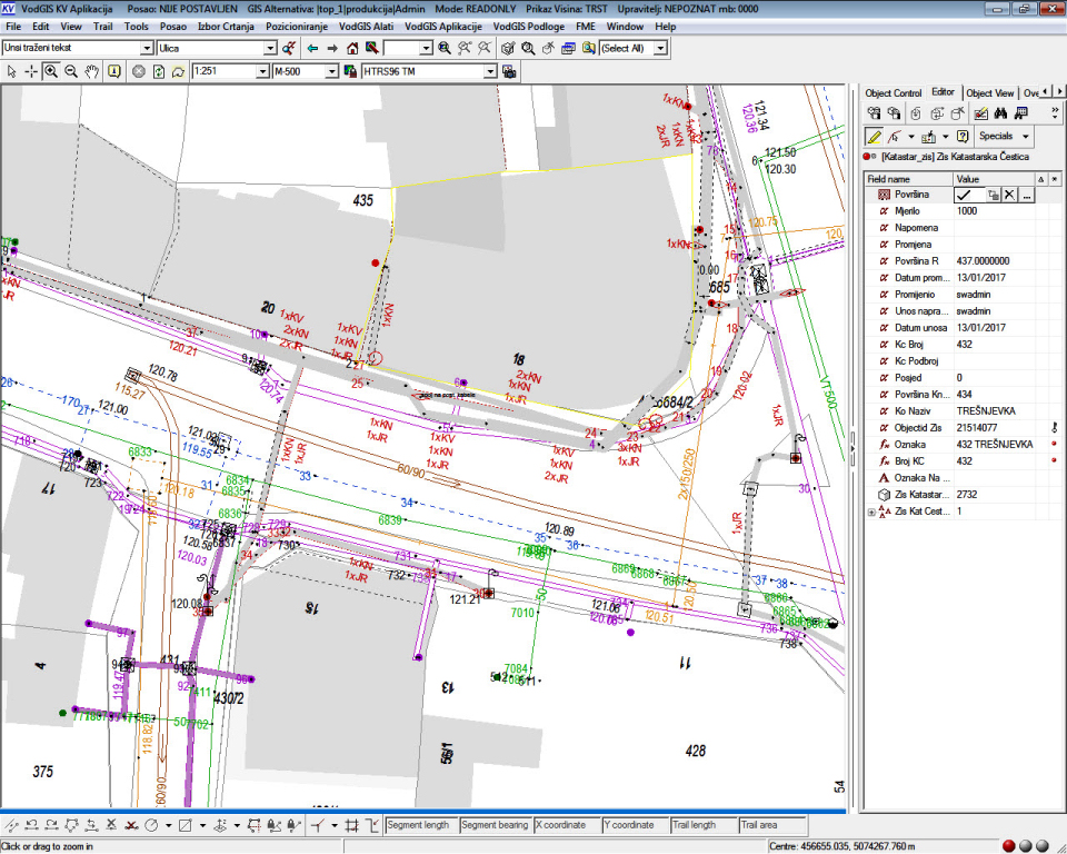
VodGIS - user interface

VodGIS has basic functions
- cadastre creation and management
- automatic input and maintenance for infrastructure cadastres based on geodetic surveys
- maintaining a register for managing and monitoring jobs
- input and display of vector and raster backgrounds...
VodGIS - WEB
- Data overview using Internet/Intranet browsers
VodGIS applications
- registry book
- geodetic surveys review, authorization, registration, and archiving
- issuing certificates and data from the infrastructure cadastre records and databases in complete vector, raster or hybrid form.
- DTK infrastructure forming
- creating statistical reports by manager, type of job, selected area...
- system administration
VodGIS - advanced applications
- unified monitoring of works on infrastructure cadastre
- spatially locating works and malfunctions on an infrastructure cadastre
- automatic differential updating of real estate cadastre data and the territorial unit register
- synchronization of infrastructure data with the national SKI system
VodGIS supports several types of jobs
- operator job for maintaining and administering the infrastructure cadastre
- system administration job
- issuing pipeline cadastre certificates job
Public Lighting Management
Public lighting – VodGIS is a standalone application for public lighting networks management. The application is also highly integrated for operating alongside the VodGIS application. It supports all public lighting business processes.

Business processes supported by VodGIS application – Public Lighting
- review and verification of the public lighting geodetic survey elements – before submitting to the infrastructure cadastre
- energy review – documenting and analysis
- inputting new and analyzing the existing metering points
- consent for a connection into the public lighting system
- public lighting equipment maintenance
- planning and development
Important characteristics
- public lighting equipment (streetlights, reactors...)
- catalogs of public lighting facilities (poles, lines, equipment...)
- public lighting networks topology
Applications used in Public Lighting:
- VodGIS JR - Desktop application
- Lightning GSA - Web application
- VodJAR - web i mobilna aplikacija for managing and maintaining public lightning


Specific functions according to user specifications
- public lighting equipment (streetlights, reactors...)
- catalogs of public lighting facilities (poles, lines, equipment...)
- public lighting networks topology
DeGIS extra options:
- public lighting network functional topology
- internal worlds of a public lighting cabinet
- energy calculations
- option to link with energy measurements


